It is probably fair to say that most glider pilots like a sea breeze as much as they like a toothache.
However, it is equally fair to say that a sea breeze can provide fantastic soaring conditions if only we manage to get into the right place at the right time. More on that later, but to start with let’s have a quick recap and look into the development and the mechanics of a sea breeze.
e.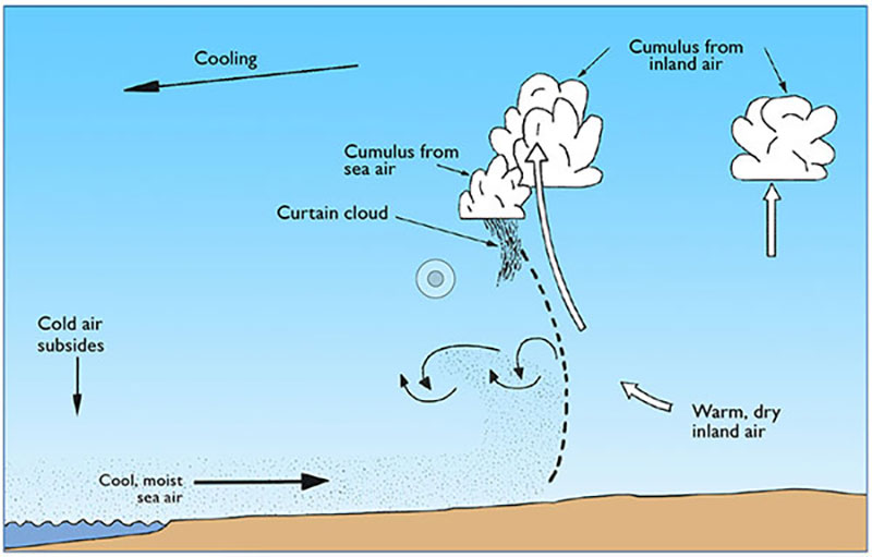
ABOVE: Airflow in sea breeze affected areas
By Bernard Eckey
Sea Breeze Pattern
The general pattern in sea breeze affected areas is shown in the above graphic. In short, the rising air of a large number of thermals creates a slightly lower pressure over inland areas, which allows cooler and more moist air to creep in from larger bodies of water nearby. It follows that the strength and intensity of the sea breeze is mainly determined by inland convection, although the general wind direction and several other factors also play an important role. Sea breezes are sometime referred to as 'maritime replacement air', but regardless of the name in use, the incoming cooler and heavier air acts like a wedge on its journey further inland. It creeps under the warmer air and triggers a row of thermals along its entire leading edge.
That’s basic gliding knowledge, and it is also needless to say that a sea breeze can only develop after convection has commenced. It means that gliding sites located in coastal areas get a few hours of soaring before the sea breeze engulfs the area. Provided pilots don’t waste time in the morning and launch early, they can venture further inland for a perfectly normal day of soaring. Even the continuing inland penetration of the sea breeze during the day can hardly spoil the fun. With today’s modern gliders it is hardly a problem to get back to the airfield, provided a high enough climb is taken along the incoming sea breeze front on the way home. Low performance gliders might struggle on occasions, but a sea breeze is not the demon it used to be in the old days of gliders with poor glide ratios and an even worse ability to penetrate into headwinds.
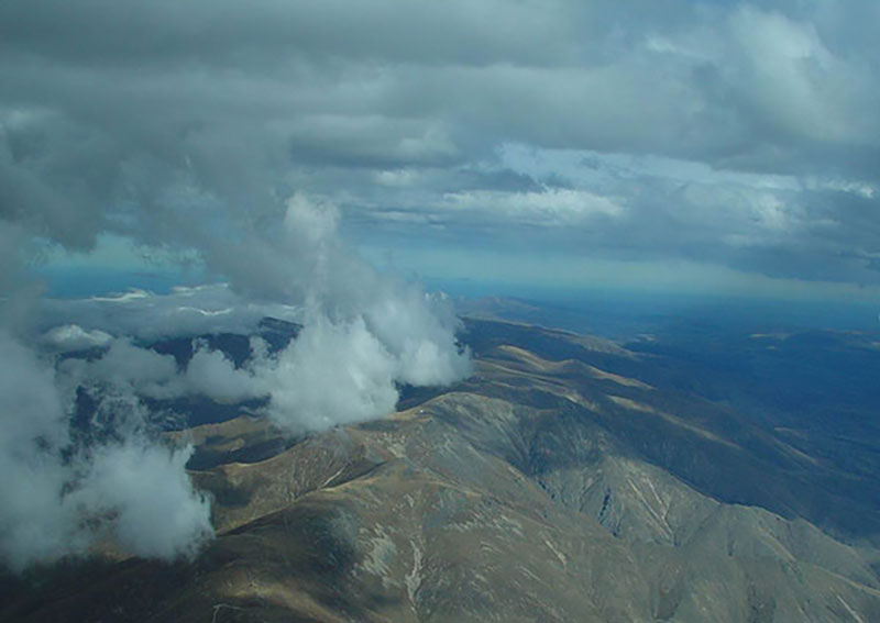
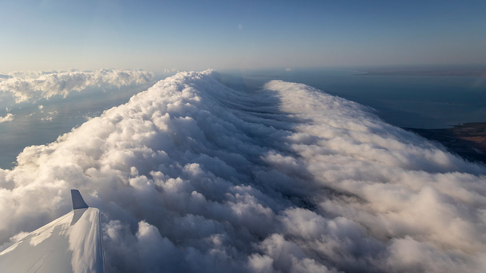
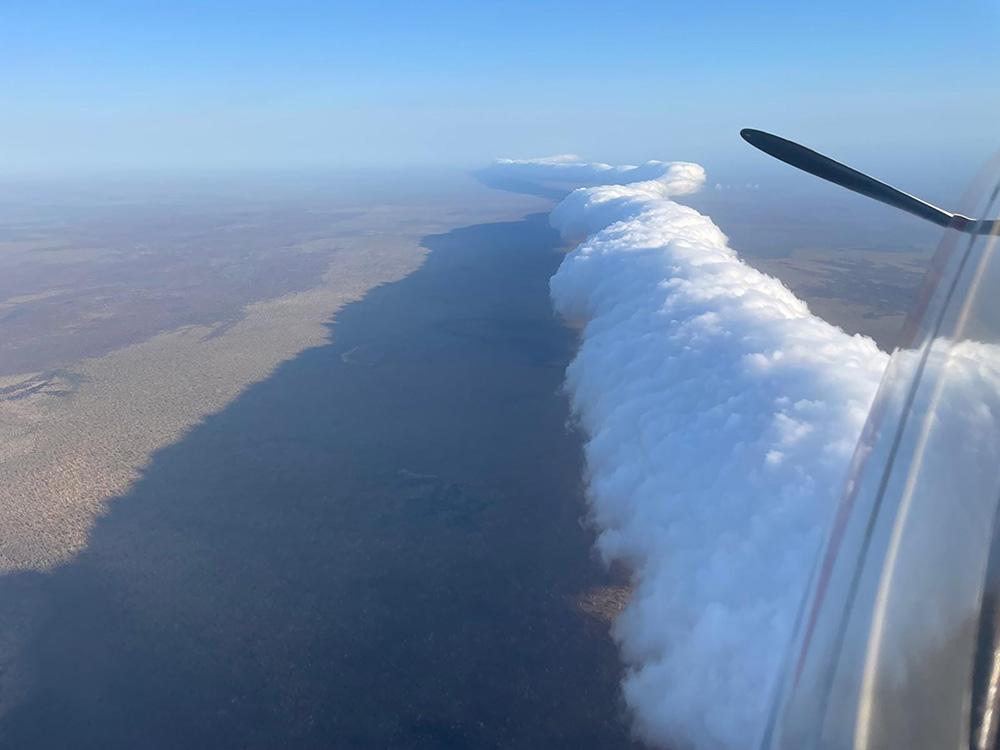
ABOVE: Curtain or Veil clouds
Seeing a Sea Breeze
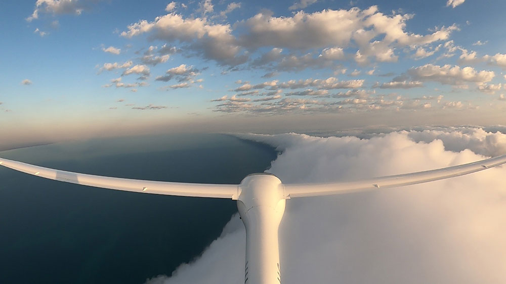
What matters most for glider pilots is recognising the condition and locating the leading edge of the sea breeze front. Although this is difficult on blue days, we can get a clue from the higher moisture content of the salt laden air in the onshore airflow. While airborne the slightly hazier air allows us to identify the sea breeze airmass with relative ease. From the ground, however, this is more difficult, although the windsock and a slight drop in temperature can often provide valuable hints.
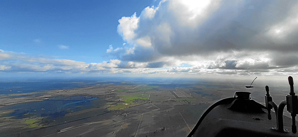
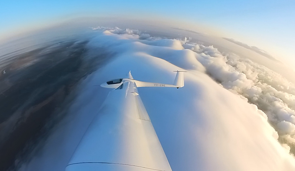
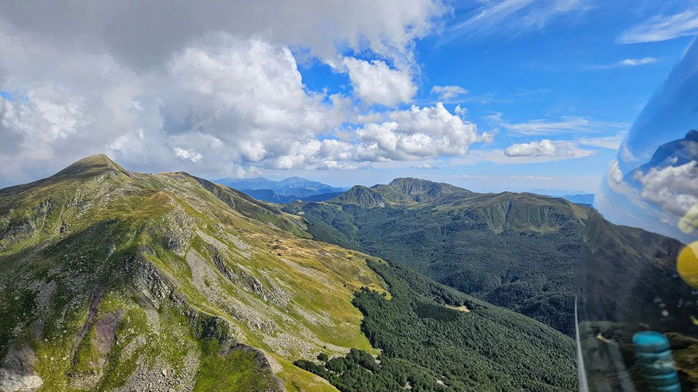
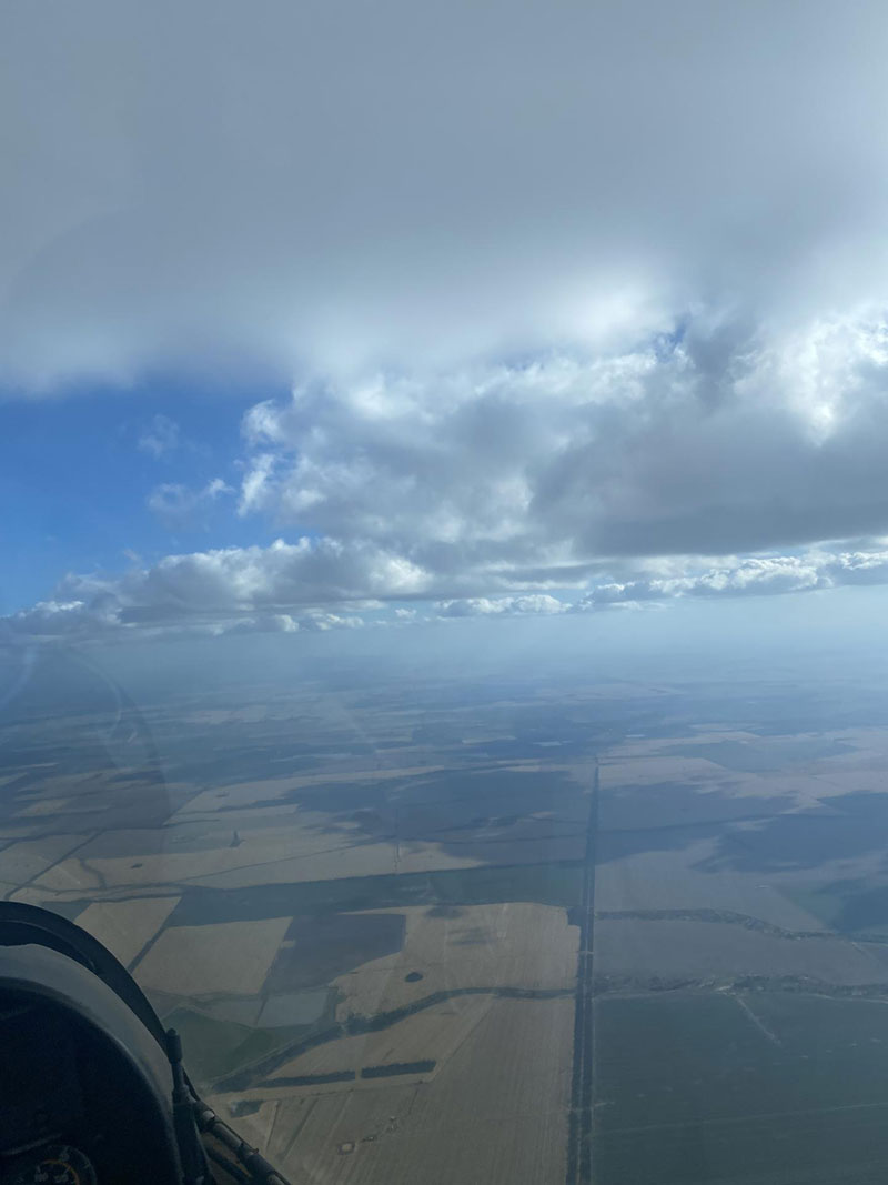
In contrast, recognising the sea breeze on cumulus days is hardly a problem. The usual absence of convective clouds behind the sea breeze front is the first indicator. The second one is a distinctive step in the height of the clouds, which is due to the colder and moister air condensing at a lower level compared to inland thermals. Some premature condensation can also result in whispy cloud tendrils seemingly suspended underneath the lower cloud base as in the picture above. Such clouds are referred to as 'curtain clouds' but in some parts of the world they are also known as 'veil clouds'. Their presence is an unmistakable sign of a nearby sea breeze front. if we move to the inland side of the curtain clouds, we will almost certainly be under a higher cloud base, and if we implement gentle speed changes according to the MacCready theory, we can often fly for very long distances without thermaling.
Flying a Sea Breeze
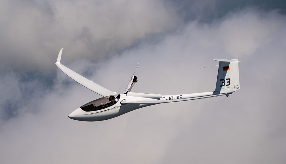
To prove the point, let me inform you about two very enjoyable autumn flights in my ASH 30 Mi in the mid-north of South Australia over consecutive weekends. The first one was a 430km flight in normal convective conditions but with a fast 200km final glide along a sea breeze front without thermaling.
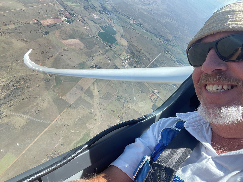
The second flight was almost the same distance but worthy of closer scrutiny. On this flight I was sharing the controls with fellow club member Roger Cox and I might add that our flight topped the Australian OLC and WeGlide ranking. After a self-launch at the Balaklava airfield, located a good 20km off the coast near the tip of the Gulf St. Vincent, we made a beeline for the Yorke peninsula, which lends itself for some very enjoyable and effortless flights along regularly occurring sea breeze fronts.
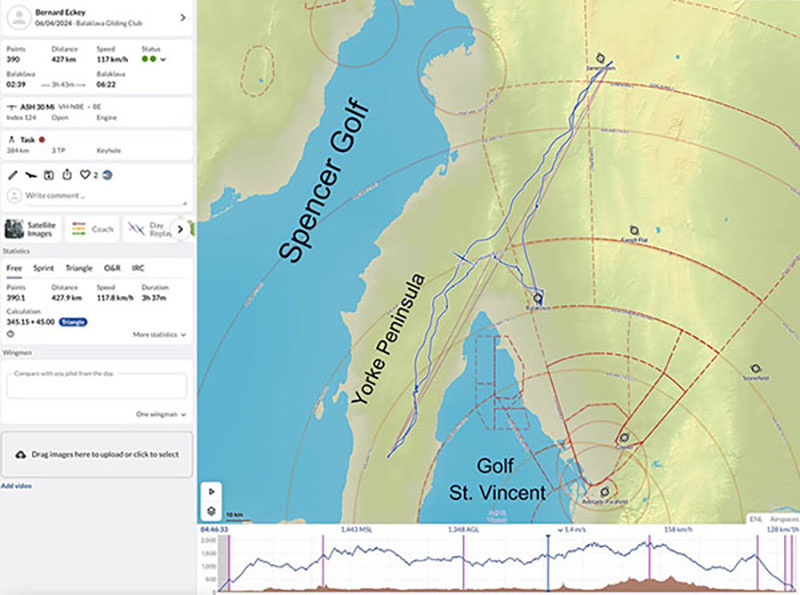
BELOW: Flight along SA’s coast line
Please Let Me Explain!
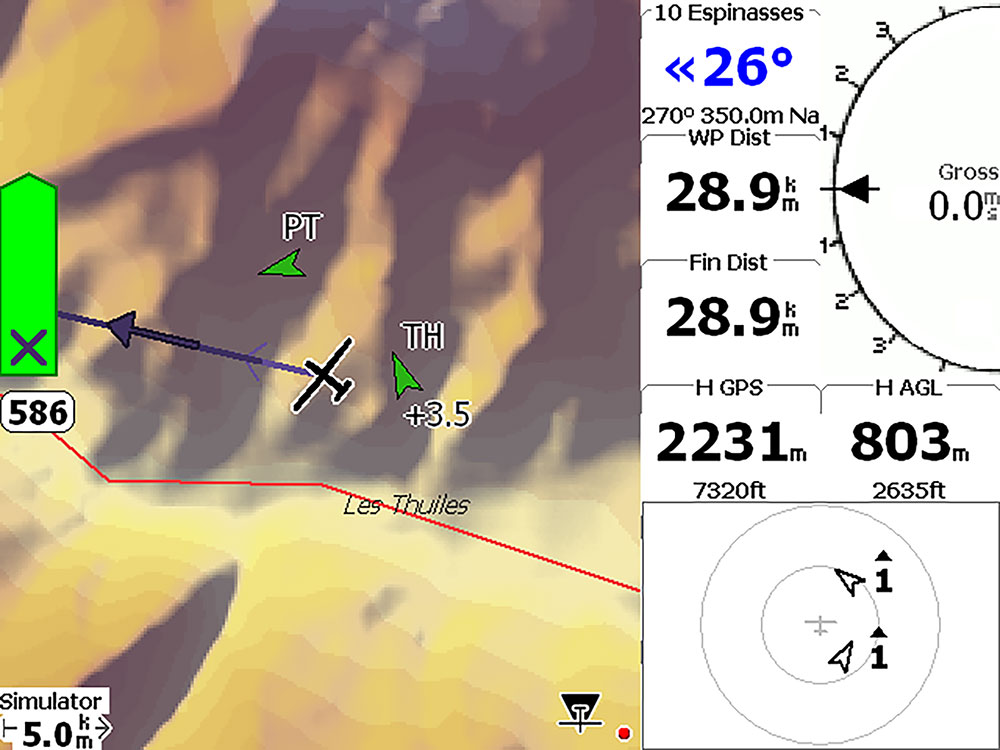
A quick look at the map below already shows that our initial track took us towards some developing clouds approximately 30 km away over the Yorke Peninsula. On our arrival a band of clouds had already formed, and a few curtain clouds were clearly marking the sea breeze front.
No doubt, we had arrived in the right place at the right time. Regular long stretches of good lift proved that we were following the energy line, and even after co-pilot Roger Cox switched to cruise/climb mode we soon found ourselves well above cloud base. That was unusual and raised suspicions of thermal wave conditions. A half-hearted attempt to climb and continue the flight above the cloud band followed, but it was a total waste of time! Eventually we gave up and headed further south, roughly along the axis of the peninsula. Near the town of Minlaton we were only around 15km away from both coastlines and clearly under a convergence line which was fed by sea breeze inflows from opposite directions.
200km Without Turning
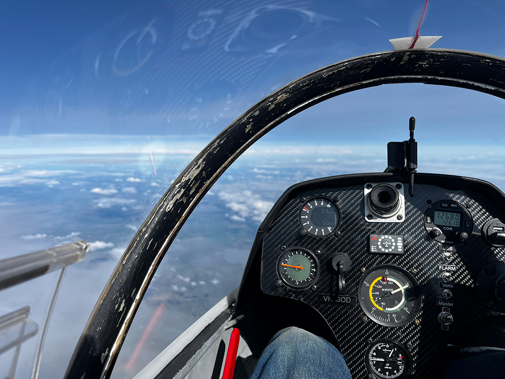
That’s what glider pilots' dreams are made of, but the further south we went the lower the cloud base got. When it dropped to just over 3000ft we turned around but not without continuing to chase the energy line in a north-easterly direction. It was still reasonably well marked, and as our audio vario was happily yodelling most of the time there wasn’t any need to stop and thermal on our 200km leg to Jamestown. When we finally decided to turn around and head for home again we were near cloud base with an altimeter reading of 6200ft. Yes, you got that right, we gained more than 3000ft on this 200km leg without making a single turn. (Please refer to the barograph trace above).
But all good things must eventually come to an end. After having been spoiled by extremely buoyant air for most of the flight a little complacency set in. I can’t even blame my co-pilot for it, because it was no other than yours truly who lost the energy line on the way home. Anyway, after an effortless straight and level flight of almost 300km I did a few turns in lift north-east of Snowtown, about 35km away from our home airfield. It was totally unnecessary and will forever rank amongst my most stupid mistakes. Only a few km further down the track we reconnected with the sea breeze front again, and if I had not lost my nerve, we would have earned bragging wrights for flying straight and level for 330km. But the story doesn’t end here. My earlier attempts to get into thermal wave was equally stupid, given that our flight computer was indicating very light winds at our altitude. Without my fruitless attempt to continue the flight above clouds we would have flown 360km without turning and increased our task speed of 117km/h at the same time.
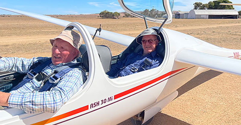
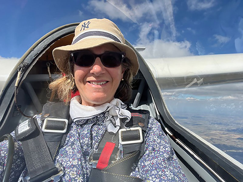
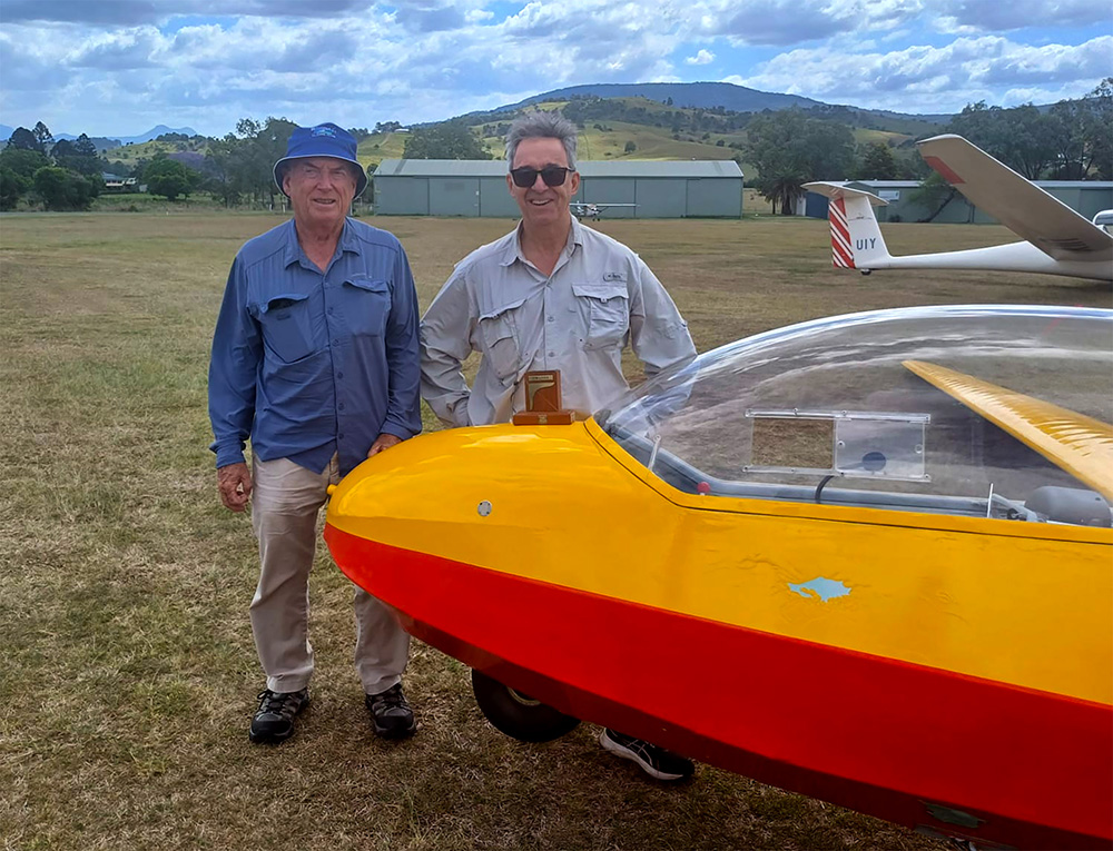
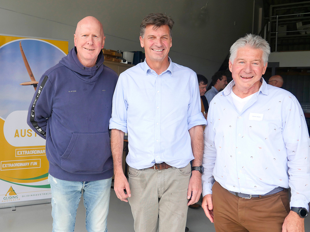
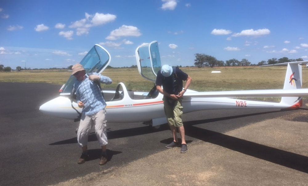
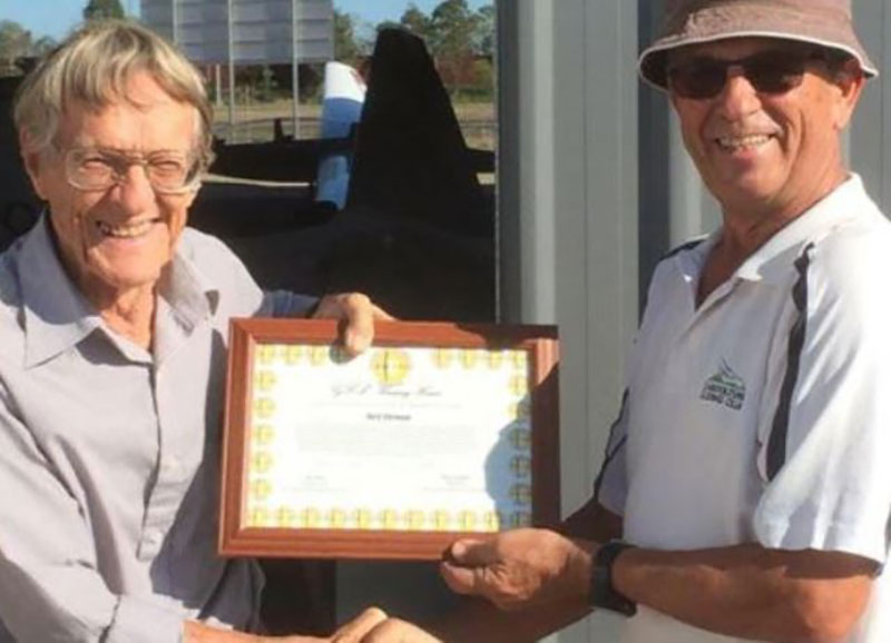
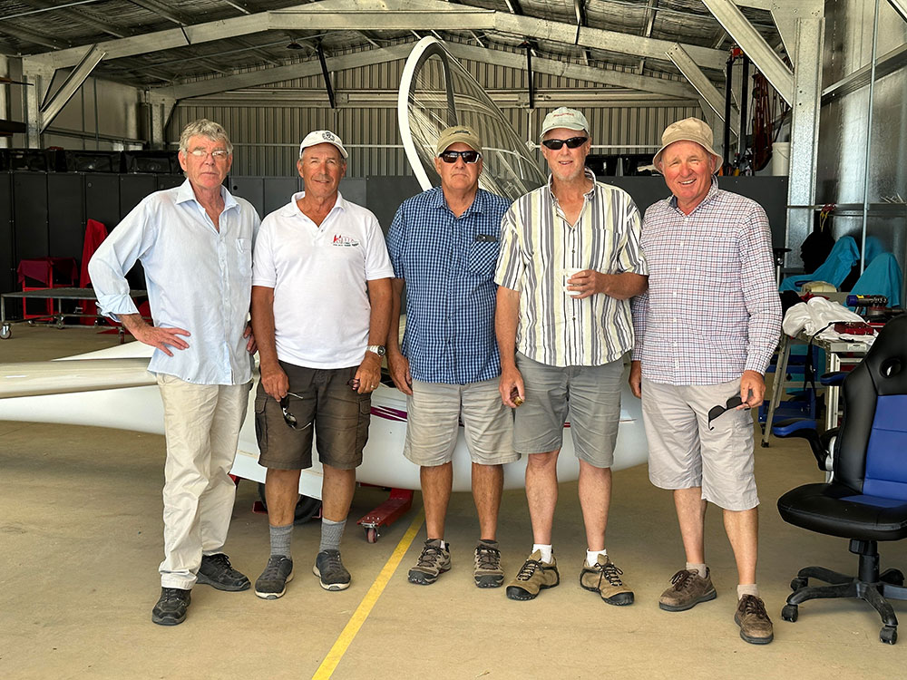
ABOVE: Two happy pilots after flying the Sea Breeze.
This raises another question. Would we have been faster by stopping in the strongest thermals for cruising at a higher speed instead of opting for a more leisurely flight at rather moderate cruising speeds? Undoubtedly, the answer is yes. But we will stick to our excuse that we were not in a race. Our prime objective was to explore the sea breeze front and learn a bit more about an efficient use of energy lines.
Finally, please do not think that this flight was only possible with a pair of very long wings. Yes, it undoubtedly helped, but what really mattered was recognising these conditions and getting into the right place at the right time. Of course, local knowledge was also helpful, but such know-how only comes from experimenting with regularly occurring sea breezes in coastal areas. Equally essential is a good dose of theoretical knowledge about this interesting weather phenomenon. Fellow pilots interested in detailed additional information are referred to my book Advanced Soaring Made Easy.

