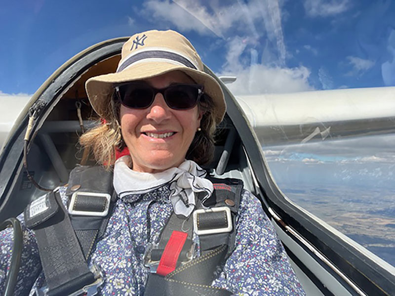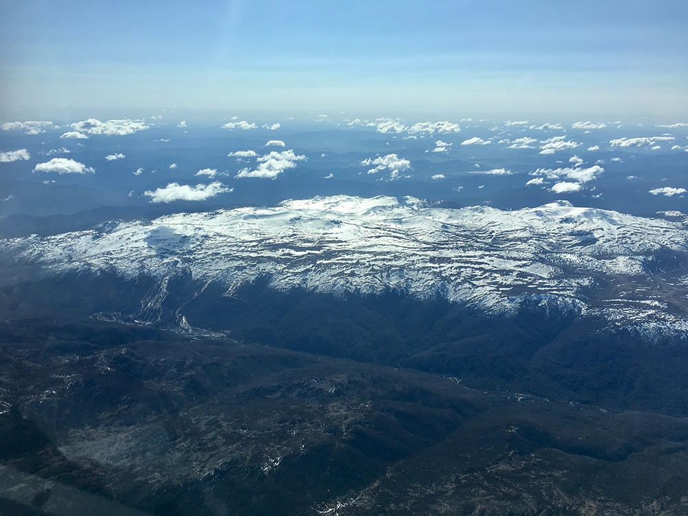
Flying the 'Royal Way', a designated airspace route across des Ecrins National Park.
By Sean Young
One of the great things about gliding is the opportunity to fly in locations around the world with a variety of soaring conditions. Early on in my gliding career I had a few flights in the northern Alps in France. It was a tantalising glimpse of the excellent soaring conditions there. Since then I had wanted to return and fly in the French Southern Alps at the famous sites of St Auban and Barcelonnette.
After the pandemic lockdowns, at last I had the opportunity to fulfil my dream. It took some planning, however, and below is some advice for Australian pilots who would like to make the journey in the future.

Preparation
If you want to fly solo in Europe, you will need to apply for temporary accreditation unless you intend to take the time to get a full European Glider Pilots License. Accreditation or full licenses issued by any EU country are valid in all 27 EU countries. The UK is no longer part of the EU and has a separate system. However, if you only intend to fly in a 2-seater with a European pilot, you do not need anything.
GPL
To be eligible for accreditation you must first have an Australian Glider Pilots License. This is obtained through Gliding Australia (GFA) and is ACAO accredited. You will also need to have a current Class 2 medical.
Once you have these, you can apply for accreditation in France, Germany or any other EU country. As I was intending to fly in France, I applied to their governing authority, DSAC.
As I had been advised to apply well in advance, I put in my completed application in January. Six months later I still had not received my accreditation and frustratingly, to this day, I still do not know why not. So do your groundwork very early if you are going to apply for a French accreditation.

Flying Duo
Although I have some mountain experience, I am a flatland pilot. Also I had no experience flying in the Southern Alps and had always intended to fly with an instructor for much of my time in France. In the end, I was very happy to do all my flying dual. The terrain and conditions are very challenging. The mountain ridges are numerous with many peaks and cols (mountain passes). You need to have a good knowledge of these before you can fly very far into the mountains.
When to Go
In a normal year, July is not the best time to fly in the southern Alps. There can be high pressure systems that sit over the area with stable air and low blue soaring conditions. The best period is usually August through mid-September. The spring in April and May also produces good conditions, while February and March are famous for excellent wave soaring. I was booked to fly during the first two weeks of July, but that was the only time I could schedule to be there.

Where to fly?
The Southern Alps are dotted with many gliding sites. During the summer months pilots from all over Europe flock to them with their gliders from home. Although you’ll find many clubs, there are not that many gliders for private hire. The most famous of the training sites is at Château-Arnoux-Saint-Auban, or St Auban. The Centre National de Vol à Voile (CNVV), France’s peak glider training organisation, is based there as is the FF Vol en Planeur, the French gliding organisation. The well funded French Gliding team is also based at St Auban, and many pilots visit with their own gliders as well.
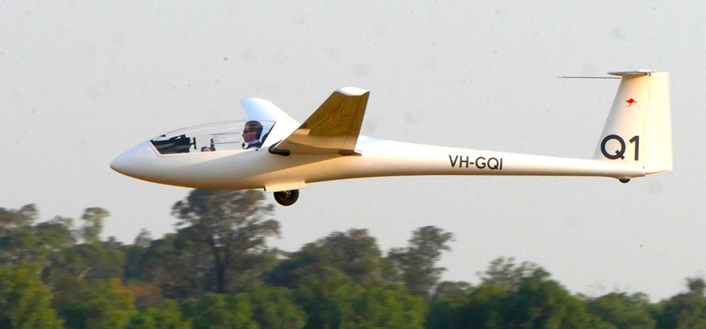
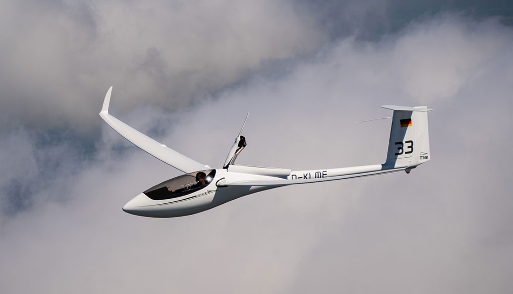
You can book to fly in one of several Duo Discus or Arcus. They also have a wide range of single seaters for hire including Discus 2, ASG 29 and JS1.
Well-priced onsite accommodation is available, as well as numerous other options in the surrounding towns and villages. cnvv.net/en
Vinon-sur-Verdon
Another good option is the AAVA at Vinon-sur-Verdon airfield which is 50 km south of St Auban. They also have Duo Discus’ and Arcus for hire with instructors and experienced club members who you can fly with. They also have single seaters for hire.
vinon-soaring.fr/en
I booked to fly Duo Discus for one week at each location.

Flying over the Nine Lakes near the border with Italy.
Heatwave
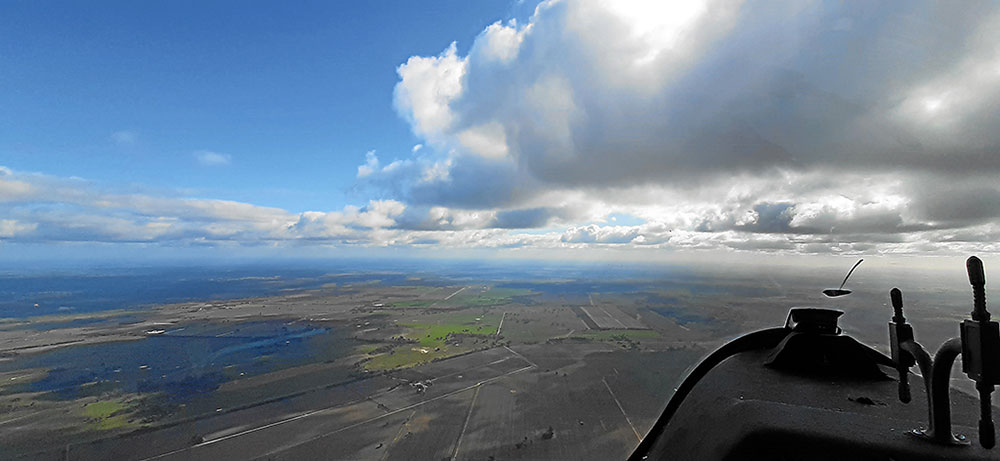
Before leaving home, I watched the European weather with both awe and dread. By the time I arrived at Vinon, southern France had just come out of an extreme heatwave with temperatures in the 40s. Vinon had reached 43 C under blue skies and stable conditions. On the first day I flew, the temperature had dropped to a mere 37 C, but the airmass was not stable and cu’s reached to over 13,000ft in the mountains. This weather pattern remained the same for the week.
The Deal is, You Have to Get There
Vinon is about 35km from the first ridge of the Alps – the Serre de Montdenier. To get there you have to take a thermal or two and fly towards the Puimoisson airfield. Jon Withers told me on the first flight, ‘The ridge will work well, but the deal is, you have to get there first.’
The conditions were very strong. Each day we would climb up to about 6,000ft, head off to the mountains and be climbing on the first ridge after only 20 to 30 minutes. If the conditions were weaker, we would have been able to reach either Vinon or Puimoisson to land. On the way home each day, we would reach final glide long before leaving the mountains, so it was always a straight glide home.
As Vinon is not in the mountains, you have access to other thermal soaring options and can fly cross country without having to mountain soar. This makes Vinon a good site if you are flying a single-seater and don’t have much mountain experience.

A barbeque at the AAVA clubhouse with CFI Jonathon Withers.

Regis Kunst, the Competition Director for the French Sailplane Grand Prix at Vinon.
Parkour Combattant
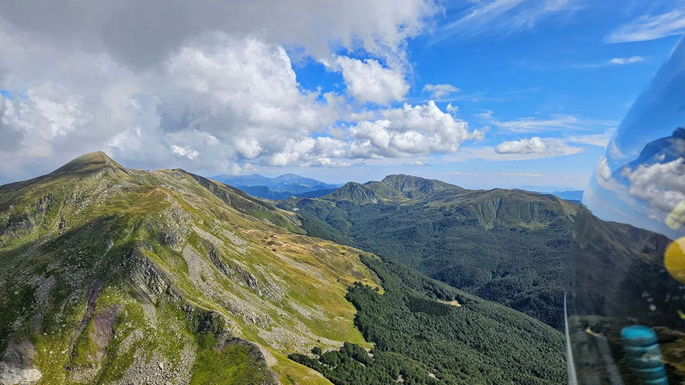
After launch we quickly made our way to Serre de Montdenier, the first ridge in the mountains. Using a combination of ridge soaring and catching tight, strong thermals twisting up the mountain sides and breaking away at the top, we were soon climbing above the dramatic vertical ridge of the Coupe. This ridge starts at 1,451m and over 7km rises to 1,703m and leads to the higher and enormous rock face of Cheval Blanc, then higher again to Trois-Évêchés at 2,819m, to La Blanche, Dormillouse and onto Morgon, which overlooks the Lac de Serre-Ponçon
This is the famous Parkour Combattant (‘commando course’ in English) that many European pilots are ambitious to soar – all at the same time, or so it seems. It is crowded and the flarm keeps flashing and buzzing, which means flying in a 2-seater does have the advantage of two pairs of eyes. If the Coupe is working you can fly onto it below ridge level and ridge climb all the way along. You may stop to circle in a particularly strong thermal or just climb as you go through them. When you are above the ridge you can fly along it, climbing all the way to the top of Dormillouse. Once you are above that, you can cut across the mountains straight to the airfield at Barcelonnette or continue on to Morgon.

Climbing on the massive rock face of the Cheval Blanc.
This day, the Parkour worked very well and we were soon flying over the Ubaye valley at over 3,000m with Barcelonnette airfield below us at 1,130m. From there you can continue into the mountains north and east with Barcelonnette as your landing option.
Heading north, the next objective was to cross the Col de Vars, which is about 2,300m with 3,000m-plus peaks on either side of the pass. The next airfield north is St Crepin in the high valley of the Durance. From there you can head further north via Biranson and mountain valleys all the way to Aosta or Mont Blanc in Italy, the Matterhorn in Switzerland and all the way to Austria. Or you can venture into des Ecrins.

The Valensole Plateau between Vinon and the foot of the Alps, covered in fields of lavender.

Vinon-sur-Verdon airfield is located next to ITER, an international fusion energy reactor.
Des Ecrins – The Royal Road
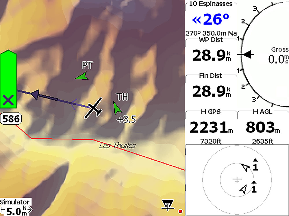
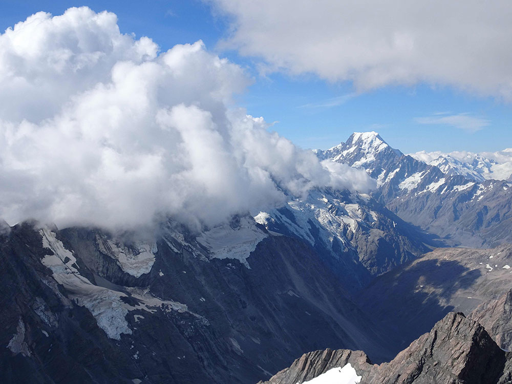
Des Ecrins National Park has the highest peaks in the southern Alps, rising to over 4,000m. In recent years, vultures and eagles have been reintroduced into the region and restrictions on gliders flying over the park put in place so that breeding areas are not disturbed. A corridor over the highest ridges of the park has been created that gliders can follow if they are able to climb to over 4,000m. It has become known as the Voie Royale (Royal Road). In some years it is only possible to fly the Voie Royale on exceptional days. This was my first flight and as we climbed to 4,200m over Tête du Peyron, the high mountain glaciers loomed up before us.
Flying across the high peaks was a beautiful and inspiring experience, crossing glaciers, jagged cliffs and steep mountainsides with sweeping views across the mountains in all directions. I felt that the efforts I had made to get to France had already been more than worthwhile.
By the end of my two weeks in Vinon and St Auban, I had flown the Voie Royale four times. I feel truly privileged but sad and concerned at the same time. The amazing soaring weather I experienced took place with forest fires raging, extreme temperatures on the ground and the worst drought in France and Italy that has ever been recorded. Even young pilots who have only been flying in the Alps for a few years have seen the glaciers retreat. More experienced pilots have witnessed the glaciers retreating kilometres up the mountainsides.

Once more flying the 'Royal Road' across des Ecrins. I was fortunate to be able to fly this route four times.

In the distance is the peak of Monviso in Italy.

The distinctive cliffs adjacent to St Auban airfield are called 'Les Mées'.

St Auban airfield isi situated along the Durance river.
 '
'
Georges Sana, flying instructor at St Auban, flew with me everyday in the Duo Discus.
Numerous Ridges to Learn
Day by day on each flight I was introduced to more of the numerous mountain ridges and peaks in the region. There are dozens of ridges and, depending on the wind direction, multiple combinations of routes that can be followed along varying ridges, taking into account the wind direction and strength and the position of sun. The wind was a constant northwest all week, which made the task of figuring out which ridge would work in the wind more straightforward. To get to know the area takes time but, of course, that is what makes it fun and rewarding.
After flying six days in a row, going far into the mountains on each flight, I decided to have a rest day and not fly on my last day at Vinon. The next day I was booked to fly at St Auban.

Over the peak of Morgon and the Lac de Serre-Ponçon.

The Coupe is an impressive vertical ridge line that produces strong thermals and is a lead onto the massive Cheval Blanc.
CNVV – St Auban
The airfield at Château-Arnoux-Saint-Auban lies about 50 km north along the Durance River valley. I arrived in time for daily briefing. The CNVV has a purpose-built facility featuring an auditorium with tiered seating for lectures and briefing. A number of visiting pilots were at the site, most with their own gliders and several renting gliders or on instructional courses.
As at Vinon, the CNVV instructors give a very comprehensive weather briefing in French, and repeat it in English. As was the case at Vinon, each day the forecast was for a hot day with strong thermals, cumulus, light northwest winds with cloudbases of 3,500 – 4,000m plus.
I flew with Georges Sana who is also the CFI of a gliding club in the Pyrenees. He has thousands of hours of experience flying in the Alps and is a fountain of local knowledge.
The airfield is an irregular shape with various marked runways but can be used as an all over field. At the southern end the land drops away to the river below. Nestled to one side of the airfield on the river floor is a chemical plant that manufactures chloride. Humm ... George reassured me that if it went up in smoke we would be vaporised in an instant so not to worry. Across the river is an unusual weathered rock formation called Les Mées (stacks of wheat) which are often shown in photographs of St Auban.
The airfield is below some of the first ridges of the Alps, which provide several places to tow out to and climb away from. This close proximity to the Alps does save time getting into the mountains.
To the west is the long curved ridge of the Lure which leads to Mt Ventoux. To the north the Durance valley widens leading to Gap and the volcanic massif Pic de Burre. The areas to the west and north are not in the main Alps, with flatter areas and more outlanding options. The soaring conditions there can be superb. If you want an alternative to flying in the high mountains, you could spend all season exploring this area.
After flying six intense days at St Auban, I again decided to have a rest on my final day. The next day I drove into the mountains to see them from the ground for the first time.

Climbing over the ridge of Serre de Montdenier, the first ridge of the Alps and the way into the region from Vinon and Puimoisson.

In the distance, the 15,780ft peak of Mont Blanc in Italy can be seen, the highest mountain in the Alps.

Barcelonnette
Barcelonnette - Saint-Pons Airfield is in the Ubaye valley with high mountains all around. It is the home of the Centre de Vol à Voile de l'Ubaye aerodromebarcelonnette.fr
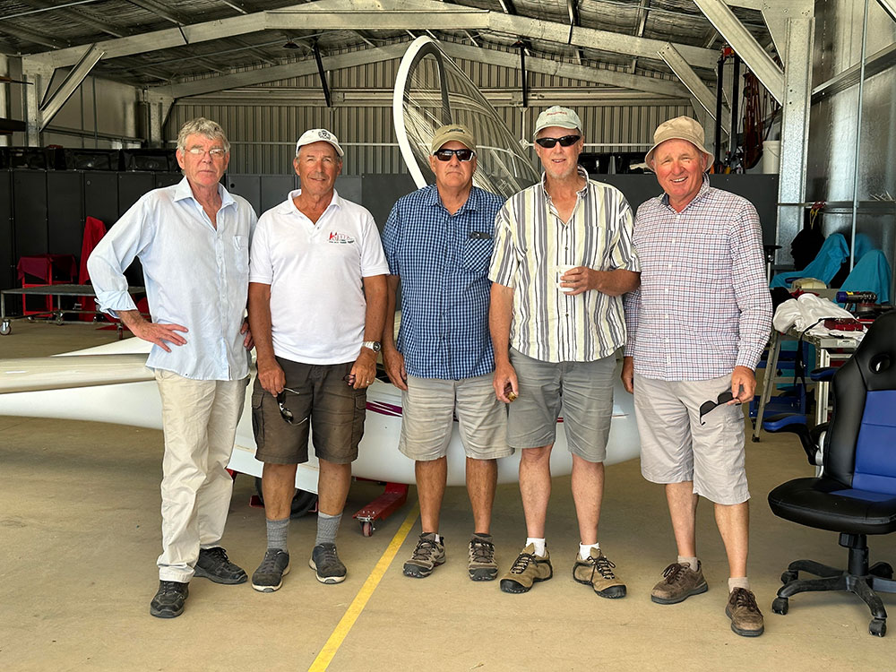
Pilots visit from all over, including German pilot Hans Raschke, who many Australian pilots will know from Narromine. Hans has been a fixture at Narromine for the last 30 years, spending three months or more there, most years. During the northern spring and autumn he flies from his home club at Unterwössen in the northern Alps. For the past 30 years he has spent extended periods in the northern summer flying from Barcelonnette. He invited me to fly with him in a Duo.
Next to the airfield is the impressive mountain Chapeau de Gendarme (policeman’s hat). On the northern side of the valley is the Grand Béard rising to over 3,000m. The ridges and cols lead north and east into the high Alps. Flying from Barcelonnette, you don’t have to go anywhere to get into the mountains. You are in the middle of them from the moment you take off.
Hans said, ‘We don’t fly the Parkour or the little Alps. They aren’t worth bothering with.’
I was happy for Hans to fly the aerotow and initial climb away. He released on a low ridge below Grand Béard and started to turn figures of eight below the ridge. In Australia I am not used to flying close to huge rock faces or below the level of trees. The most difficult thing for me is to judge just how far away the glider is from them, but to get into the rising air, you need to fly close to the mountain.

Flying with Hans in the convergence between the air rising from the Po Valley in Italy and the air from France.

If you are not close enough, not only will you not climb but you risk flying into heavy sinking air and flying onto the slopes below. Looking out at the trees as we whizzed by I wondered, are those trees just 2 or 3m tall – or 30m? As we got closer I realised, yup, 30m alright. Soon we were above the tree line and flying close to the rock face. How close are we to the mountain? We were close enough to climb rapidly and soon Hans expertly had us over the top of Grand Béard at more than 3,500m.
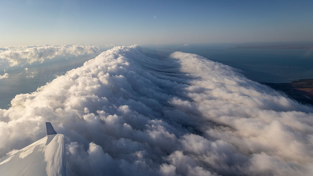
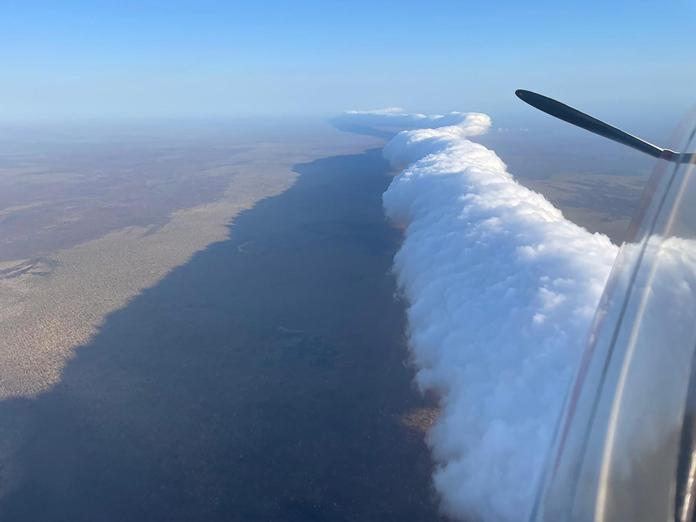
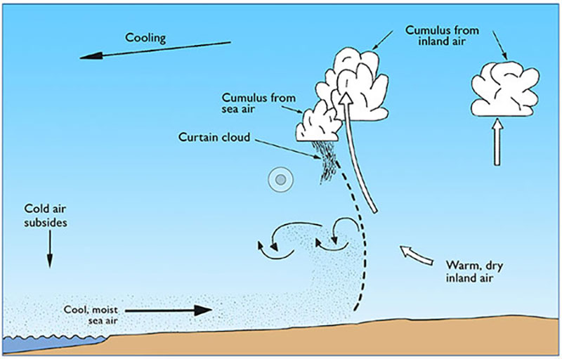
We headed northeast towards Monviso and the Italian border. Encountering a lot of cumulus, the day looked like it would overdevelop. A curtain of cloud streamed along the top of the ridge of mountains along the border. The air from Italy rising up from the Po Valley was meeting the air flowing east from France. Hans took us over to play in the convergence.
We flew further north than I had been before, while Hans pointed out the various valleys and ridges. A few times we had to climb away from below peaks but Hans knows the area and assured me that we were always within reach of an airfield. Rain began to develop to the north so we turned south and tracked along the side of des Ecrins and made a tour around the mountains before heading back to Barcelonnette.
My gliding adventure in the Southern Alps was over – and what magnificent flying I had.

A glacier in des Ecrins coloured red by dust blown from the Sahara.


Hans Raschke and Sean Young at Barcelonnette airfield with the Chapeau de Gendarme behind them.
